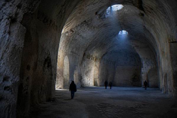
What Was The Disease In Matera, Italy?
The disease tied to Matera's Sassi was malaria, alongside typhoid and respiratory illness bred by overcrowded cave dwellings. What the historical record says, when the evacuation happened, and whether any risk remains today.
Matera, an inland city in Basilicata, southern Italy, about 400 m above sea level on the edge of the Gravina canyon, carries a medical history as dramatic as its landscape. The disease that the historical record ties to the city is malaria, which spread through the Sassi, the cave quarters of Sasso Caveoso and Sasso Barisano, in the decades before the evacuation that began in 1952. It did not act alone. Typhoid, respiratory infections and skin diseases travelled through the same overcrowded cave dwellings, and together they drove the relocation that emptied the Sassi between 1952 and the 1970s. The story of that disease is inseparable from the story of the caves themselves, and it explains why the question still comes up so often, because the same streets that were condemned as a health hazard are now a UNESCO World Heritage Site, inscribed in 1993, visited by hundreds of thousands of guests a year.
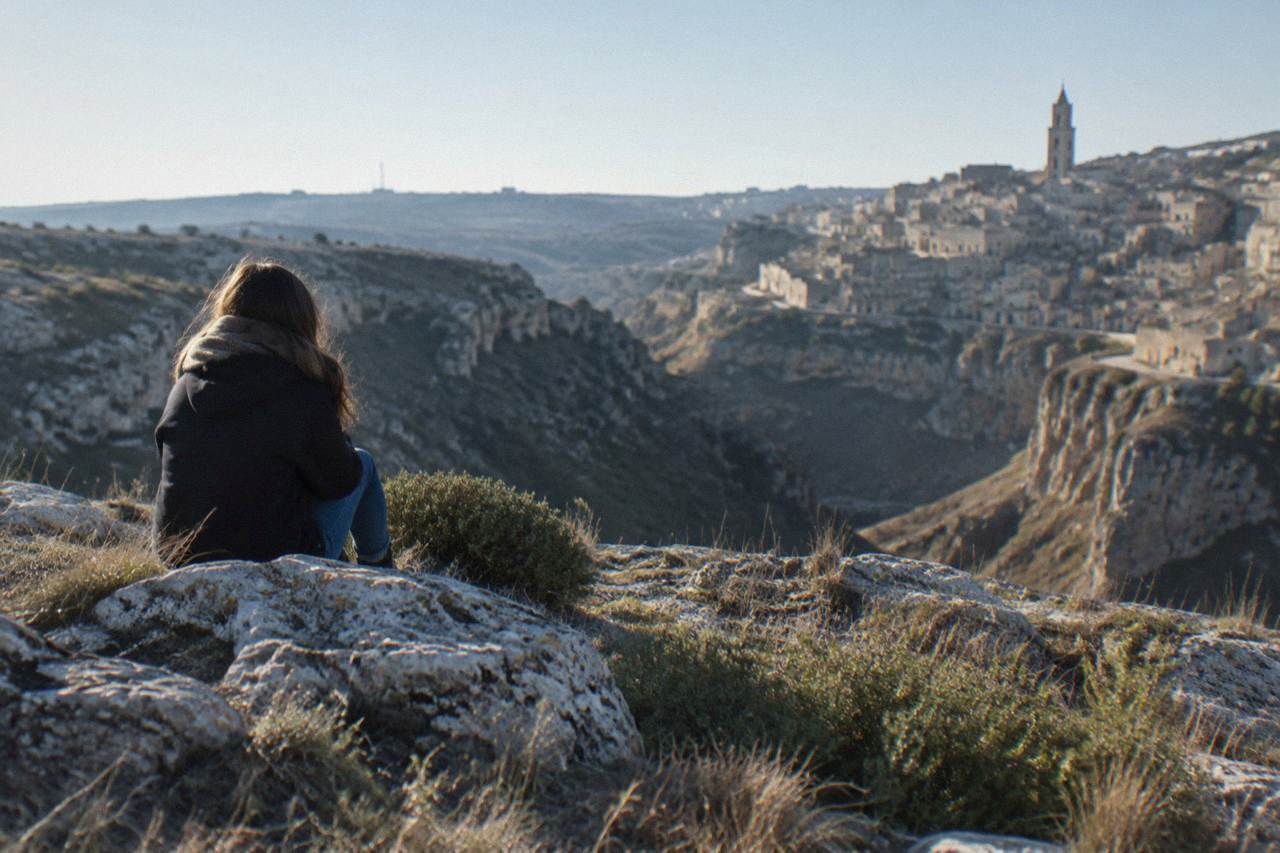
What Was The Disease In Matera, Italy?
The disease most associated with Matera is malaria, spread by mosquitoes breeding in the standing water of the Gravina canyon, the cisterns and the damp cave floors of the Sassi. Typhoid and chronic respiratory illness ran alongside it in the overcrowded cave dwellings, where families shared space with animals and sanitation was minimal. These conditions, reported in the decades before the state relocation that began in 1952, led the Italian state to move residents out of the Sassi between 1952 and the 1970s.
Malaria is the name that anchors the question. The historical accounts of Matera's cave quarters describe a landscape that favoured the disease: the Gravina stream below the Sassi held stagnant pools, the rock-cut cisterns that stored the city's water offered still surfaces, and the cave interiors stayed damp through the year. Anopheles mosquitoes, the malaria vector, breed exactly in that kind of slow or standing water. Basilicata as a whole was known for malaria well into the years before the relocation, and the region's literary record reflects it. Carlo Levi's memoir of exile in the region, the book behind the film Christ Stopped at Eboli, which Francesco Rosi shot in 1979 partly in Matera, describes a countryside where malaria shaped daily life and medicine.
The second part of the answer is that malaria was never the whole story. The Sassi before the relocation housed a large population in cave rooms carved into tufa limestone, often one room per family, with stalls for sheep, goats and donkeys inside or at the door. Human and animal waste drained into the same rock channels that carried what little clean water there was. Typhoid, spread by contaminated water and food, followed naturally. So did respiratory disease, because the caves had little ventilation and smoke from cooking fires lingered in the rock rooms. Historical reporting on the Sassi in that period describes children dying young and adults weakened by chronic infection, and it was this combination, not a single pathogen, that turned Matera into a national scandal.
The scale of the response tells its own story. The Italian state's relocation programme, which began moving residents out of the Sassi in 1952, was one of the largest public-health-driven clearances in postwar Italy. Families were rehoused in new quarters built on the plateau above the caves, and the Sassi were left empty for decades. A law of 1986 opened the way to restoration, and the UNESCO inscription of 1993, under the name "The Sassi and the Park of the Rupestrian Churches of Matera", confirmed the turnaround. For the full arc from condemnation to heritage, see the companion page on why Matera was abandoned.
Why Did The Cave Dwellings Of Matera Spread Disease?
The Sassi spread disease because the cave dwellings packed people and livestock into single damp rooms with no drainage, no ventilation and shared water. Cave floors held moisture year-round, waste ran through open rock channels, and the cisterns that stored drinking water also gave mosquitoes a place to breed. Overcrowding turned each of these weaknesses into a transmission route for malaria, typhoid and respiratory infection.
The geology that makes Matera beautiful is the same geology that made it sick. Tufa limestone is soft enough to carve and porous enough to hold water, so the cave rooms never fully dried. A family sleeping on a damp floor, with animals tethered nearby, breathed air thick with smoke and dust. Water came from rock-cut cisterns and from the Gravina, and the two systems were not always separate. Insects, including the mosquitoes that carry malaria, found standing water in the canyon and in the tanks alike.
Matera sits at about 400 m above sea level on the edge of the Gravina canyon, with the Murgia plateau opposite, and the canyon floor was the problem zone. The stream below the Sassi moved slowly and pooled in the dry season. Historical reporting on the city describes the Sassi before the evacuation as a place where infant mortality shocked visiting officials and where disease was treated as a fact of life rather than a curable condition. The national attention that followed, including the coverage that earned Matera the label of the "shame of Italy", is covered in detail on the page about why Matera was called the shame of Italy.
The evacuation broke the cycle. Once the residents moved out and the caves stood empty, the standing water was dealt with, the canyon was no longer lived in at its damp edges, and Italy's postwar anti-malaria campaigns, drainage and DDT spraying among them, reached the region like everywhere else in the country. Malaria was eliminated from Italy as a public-health problem in the postwar decades. The Sassi then sat vacant and deteriorating until the 1986 law made restoration possible, which is the period the page on whether people still live in the Sassi picks up.
Seeing the layout for yourself explains the epidemiology faster than any description. The canyon is deep, the cave districts are stacked along its walls, and the distance between a dwelling and the water below is short. An open-top bus ride across the viewpoints shows the whole geometry in one loop: the Sassi on one side, the Murgia plateau with its rock churches on the other, and the Gravina between them. The open-bus panoramic tour of the Sassi includes entry to a house-cave, which is the clearest illustration of the living conditions this article describes. Check availability
When Did Matera Move Residents Out Of The Sassi?
Residents were moved out of the Sassi between 1952 and the 1970s, under a state relocation programme that rehoused families in new districts on the plateau above the caves. The Sassi then stood largely empty for decades, until a law of 1986 opened the way to restoration and reuse, and UNESCO inscribed the site in 1993. The evacuation is the fixed point that separates the disease era from the heritage era.
The timeline matters because visitors often meet it out of order. They see the restored Sassi first, the boutique cave hotels and the candlelit restaurants, and only later learn that the same rooms were a health emergency within living memory. The relocation was not voluntary in spirit: families who had lived in the caves for generations were moved to new housing blocks, and the move broke communities as well as disease cycles. The empty years that followed nearly destroyed the Sassi, as rain and neglect worked on the abandoned rock rooms.
| Year | Event | What It Changed |
|---|---|---|
| 1952 | Start of the state relocation programme | Families began moving out of the Sassi into new quarters on the plateau |
| 1952 to 1970s | Progressive evacuation of the cave dwellings | The Sassi emptied; disease transmission conditions ended with the move |
| 1986 | Italian law opening restoration | The Sassi could legally be reclaimed, restored and reoccupied |
| 1993 | UNESCO inscription, site 670 | "The Sassi and the Park of the Rupestrian Churches of Matera" entered the World Heritage List |
| 2019 | European Capital of Culture | Matera's regeneration reached international visibility |
| 2025 | 479,083 arrivals in registered accommodation | APT Basilicata's count shows the city now hosts more guests than in the 2019 Culture year |
The restoration reversed the flow of people. Where the state once moved residents out on health grounds, the Sassi now draw guests in, and the 2025 arrival figure from APT Basilicata stands 23.4% above the 2019 Capital of Culture year. The cave houses that once sheltered families and their animals are now museums, guesthouses and restaurants, and the disease history is presented rather than hidden: the Storica Casa Grotta di Vico Solitario, at 8.00 EUR full entry on the 2026 tariff, preserves a cave dwelling with its original furnishings, the Neviera ice pit, a natural cave and the rock church of Sant'Agostino al Casalnuovo.
Is There Any Health Risk In Matera Today?
No. Malaria was eliminated from Italy decades ago, and the living conditions that spread typhoid and respiratory disease in the Sassi ended with the evacuation and the later restoration. Today Matera is a normal southern Italian city with modern water, sanitation and healthcare, and the cave dwellings that visitors enter are restored, ventilated and maintained. The disease is history, presented in museums rather than experienced.
The water that once carried typhoid is now a municipal supply, and the tap water in Matera is drinkable like anywhere in Italy, a point covered on the page about drinking tap water in Matera. The emergency number is 112, the single European number, live in the Matera district since 2 December 2025. The Sassi are steep, stepped and uneven, so the realistic health consideration for a visitor is footing rather than infection: sturdy shoes, water in the hot months, and care on the stone stairways that link the plateau to the canyon edge.
Climate is the one factor worth planning around. The ERA5 reanalysis for Matera, 1991 to 2020, puts the July mean high at 31.2 C and the August mean high at 31.3 C, with about 55 days a year reaching 30 C, of which roughly 20 fall in each of July and August. Winter brings frost on about 20 days a year, almost all between December and March. November is the wettest month at 67.1 mm of rain in the reanalysis, July the driest at 21.2 mm. None of this is disease weather; it is ordinary Mediterranean-continental planning data, and the monthly detail sits on the guide to the best time to visit.
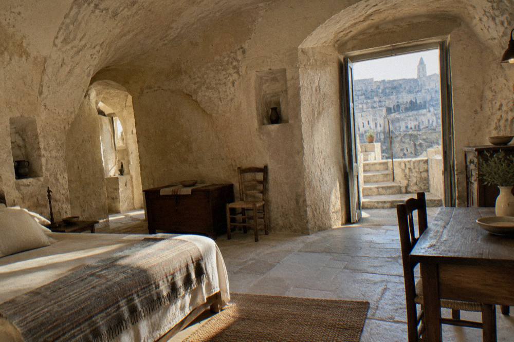
How Can You See The Disease History Of Matera Firsthand?
The preserved cave houses are the main witness. The Storica Casa Grotta di Vico Solitario shows a furnished cave dwelling with its ice pit and rock church for 8.00 EUR, the Oltre l'Arte network restores and opens rupestrian churches from 4.50 EUR for one site, and Casa Noha, the FAI visitor centre, explains the city's whole story including the evacuation. Together they turn the medical history into something a visitor can walk through.
Casa Noha, at 6.50 EUR for adults, screens an orientation film inside a restored cave house in the Recinto Cavone, and it is the single best starting point for this history, with one caveat: the FAI page lists a closure from 5 to 22 October 2026 for renovation ahead of a relaunch with new displays, so anyone visiting in that window should check before going. The Museo Ridola, the archaeological museum, has been closed since 7 April 2025 for energy works and a new display, with no reopening date published, so it cannot be part of a disease-history itinerary at present.
| Site | What It Shows | Full Price | Notes |
|---|---|---|---|
| Storica Casa Grotta di Vico Solitario | A furnished cave dwelling, the Neviera ice pit, a natural cave and the rock church of Sant'Agostino al Casalnuovo | 8.00 EUR | Tariff in force from 4 April 2026; free to age 10 |
| Casa Noha (FAI) | Orientation film on the Sassi, the evacuation and the restoration | 6.50 EUR | Closed 5 to 22 October 2026; open daily except Wednesday |
| Oltre l'Arte rupestrian churches | Rock-cut churches of Santa Lucia alle Malve, Madonna de Idris and San Pietro Barisano | 4.50 EUR for one, 10.00 EUR for three | Hours from 28 March 2026; closed 25 December and 2 July |
| MUSMA | Contemporary sculpture in a cave complex in Sasso Caveoso | 10.00 EUR | April to September 10:00 to 20:00 |
The question of what the disease was usually arrives alongside the question of what the Sassi were, and the two answers belong together. The cave quarters were a working housing solution carved over centuries, then a health emergency under the overcrowding that preceded the 1952 relocation, then an abandoned ruin, and now a World Heritage landscape. The Matera Travel Guide covers each stage, from the geology of the Gravina to the viewpoints on the Murgia side where the whole canyon city reads at a glance.
A sunset walk on the Murgia side completes the picture. From the Belvedere Murgia Timone, the Sassi appear as one continuous cliff face of cave openings, and the geography that once bred disease, the damp canyon and the crowded rock, is exactly what now photographs so well. Guided sunset walks to the belvedere run with transfer included, and they are listed among the site's panoramic tours. Anyone weighing the visit against other southern Italian stops can compare on the page about whether Matera is worth visiting.
Common Questions About Disease And Health In Matera
What was the disease in Matera, Italy?
Malaria, spread by mosquitoes breeding in the standing water of the Gravina canyon and the cisterns, was the disease most associated with Matera's Sassi. Typhoid and respiratory infections spread alongside it through the overcrowded cave dwellings, and the combined conditions led the state to relocate residents between 1952 and the 1970s.
Was malaria the only disease in the Sassi?
No. The historical accounts describe a combination: malaria from the canyon's standing water, typhoid from contaminated water supplies, and chronic respiratory illness from unventilated, smoke-filled cave rooms shared with livestock. It was the combination, not one pathogen, that made the Sassi a national health scandal.
Do people still get malaria in Matera?
No. Malaria was eliminated from Italy as a public-health problem in the postwar decades, and the living conditions that sustained transmission in the Sassi ended with the evacuation. Matera today is a city of 59,368 residents, on the ISTAT count at 1 January 2026, with modern water, sanitation and healthcare.
Why did people live in caves if the caves made them sick?
The caves were carved and occupied over many centuries, when they were a rational housing solution in soft tufa limestone. The health crisis came with the overcrowding that preceded the 1952 relocation, when far more people were packed into the same rock rooms with animals and minimal sanitation than the dwellings could safely hold.
Can you visit the cave houses where people lived?
Yes. The Storica Casa Grotta di Vico Solitario preserves a furnished cave dwelling for 8.00 EUR, Casa Noha explains the city's story for 6.50 EUR, and the Oltre l'Arte network opens the rupestrian churches from 4.50 EUR for one site. Casa Noha lists a closure from 5 to 22 October 2026, so confirm locally in that window.
Is the water in Matera safe now?
Yes. Matera has a modern municipal water supply and the tap water is drinkable, like anywhere in Italy. The contaminated cisterns and channels of the Sassi era belong to the period before the evacuation and the restoration.
The disease in Matera is a closed chapter, but it is the chapter that explains everything else: the empty decades, the 1986 restoration law, the UNESCO inscription and the museum caves visitors walk through today. Read the cave walls with that history in mind and the Sassi stop being a backdrop and become a document.